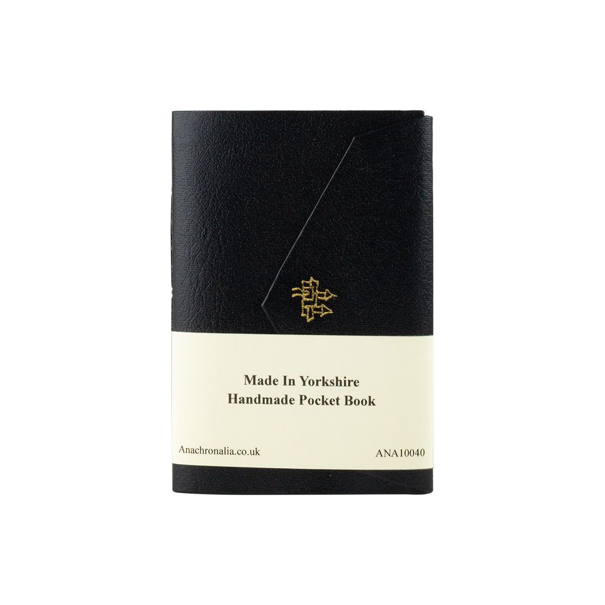
Black Handmade Pocket Book
$15.00
1
Details
Christopher Saxton (c. 1540 - c. 1610) produced the first county maps of England and Wales. This pocket book is foilblocked with a town design emulating the Leeds image from the 1577 map of Yorkshire, and the lining paper reproduces a section of that same map from a surviving example.
Reproduced with the permission of special collection, Leeds University Library.
- blank cream pages
- by anachronalia press
- handbound in england
Add to Wishlist
Black Handmade Pocket Book
You May Also Like
Display prices in:USD


